Rock Slope Assessment, Geological Mapping & Design
Geological characterisation, kinematic stability analysis, rockfall trajectory modelling, and permanent stabilization design.
Service Overview
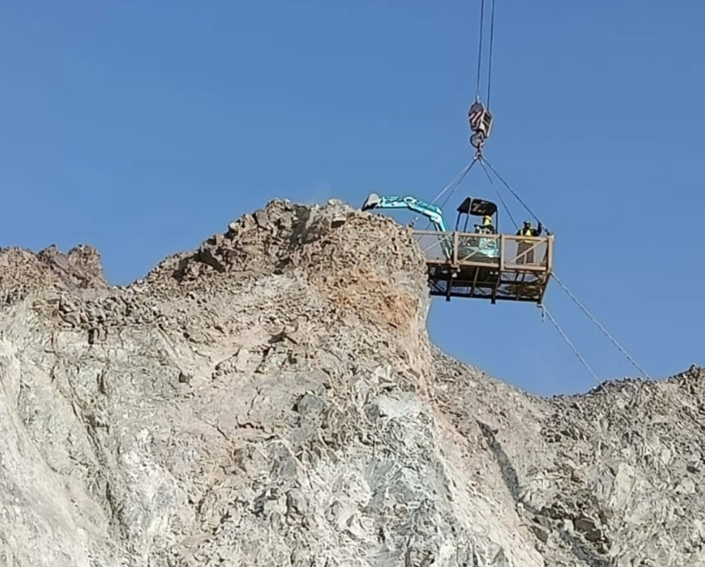
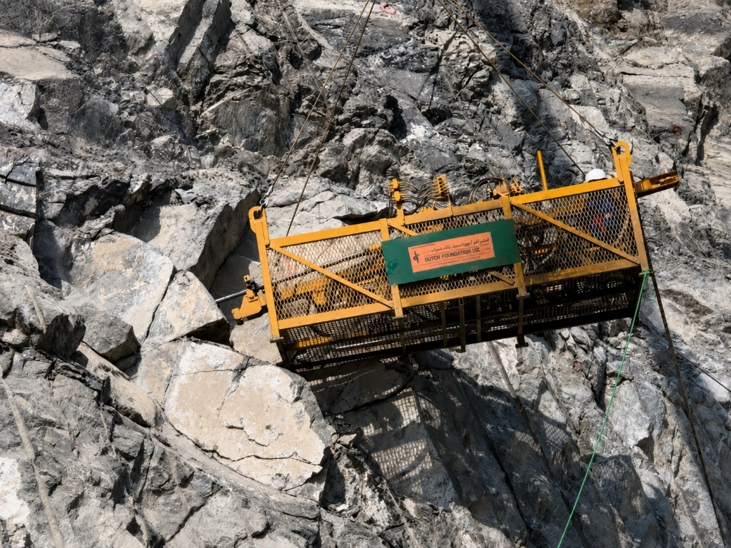
From geology to buildable details. Our engineering team characterises the rock mass, identifies the governing failure mechanism (planar, wedge, toppling, or ravelling), and develops stabilization designs that can actually be built on a steep face with the access and plant available. Every design decision is developed with construction, access, safety, and maintenance in mind, ensuring the drawings that reach site reflect how the works will be sequenced and how the slope will be maintained over its service life.
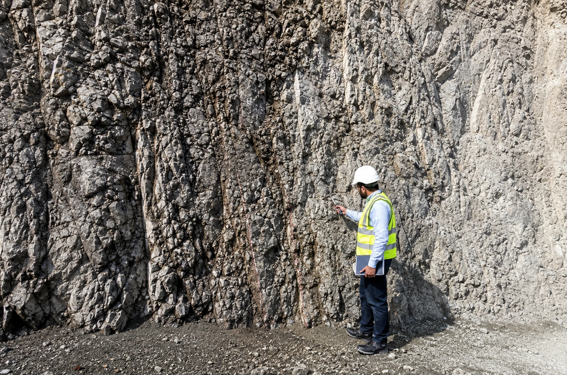
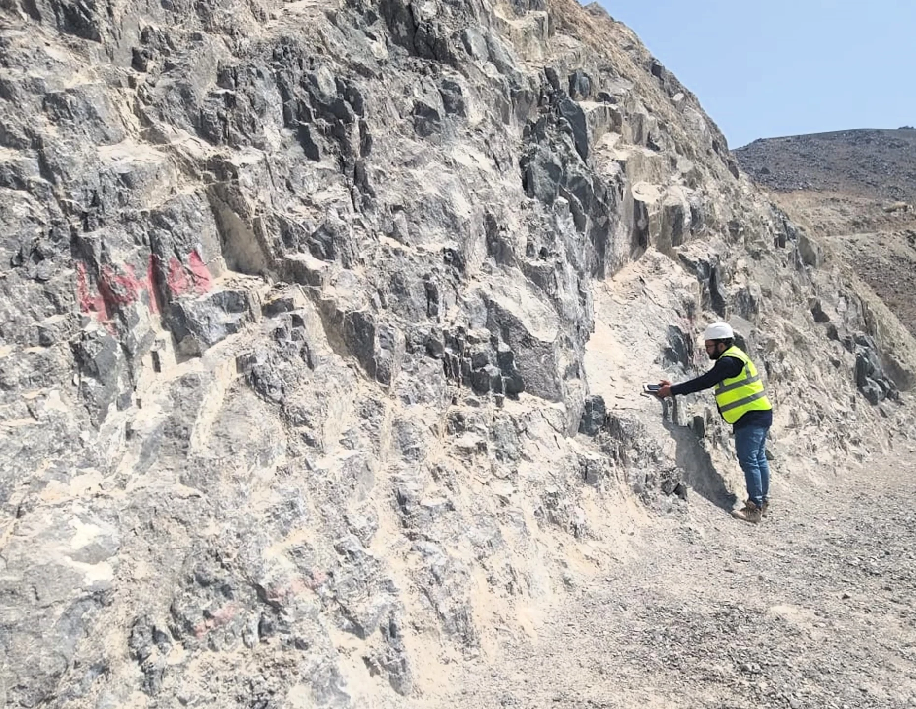
Operating across the complex geological formations of the UAE—including the fractured Hajar Mountain ophiolites, layered limestones, and weathered flysch—our engineering geologists combine high-resolution drone photogrammetry with direct discontinuity mapping. We analyze joint spacing, dip/dip-direction, persistence, and infill properties to perform rigorous kinematic 3D stereographic projections and 2D/3D limit-equilibrium slope stability analyses. This ensures that every anchor length, bolt pattern, and drapery capacity is mathematically optimized for long-term safety and cost efficiency.
Key Features & Capabilities
Our Delivery Process
Site Reconnaissance & Geological Mapping
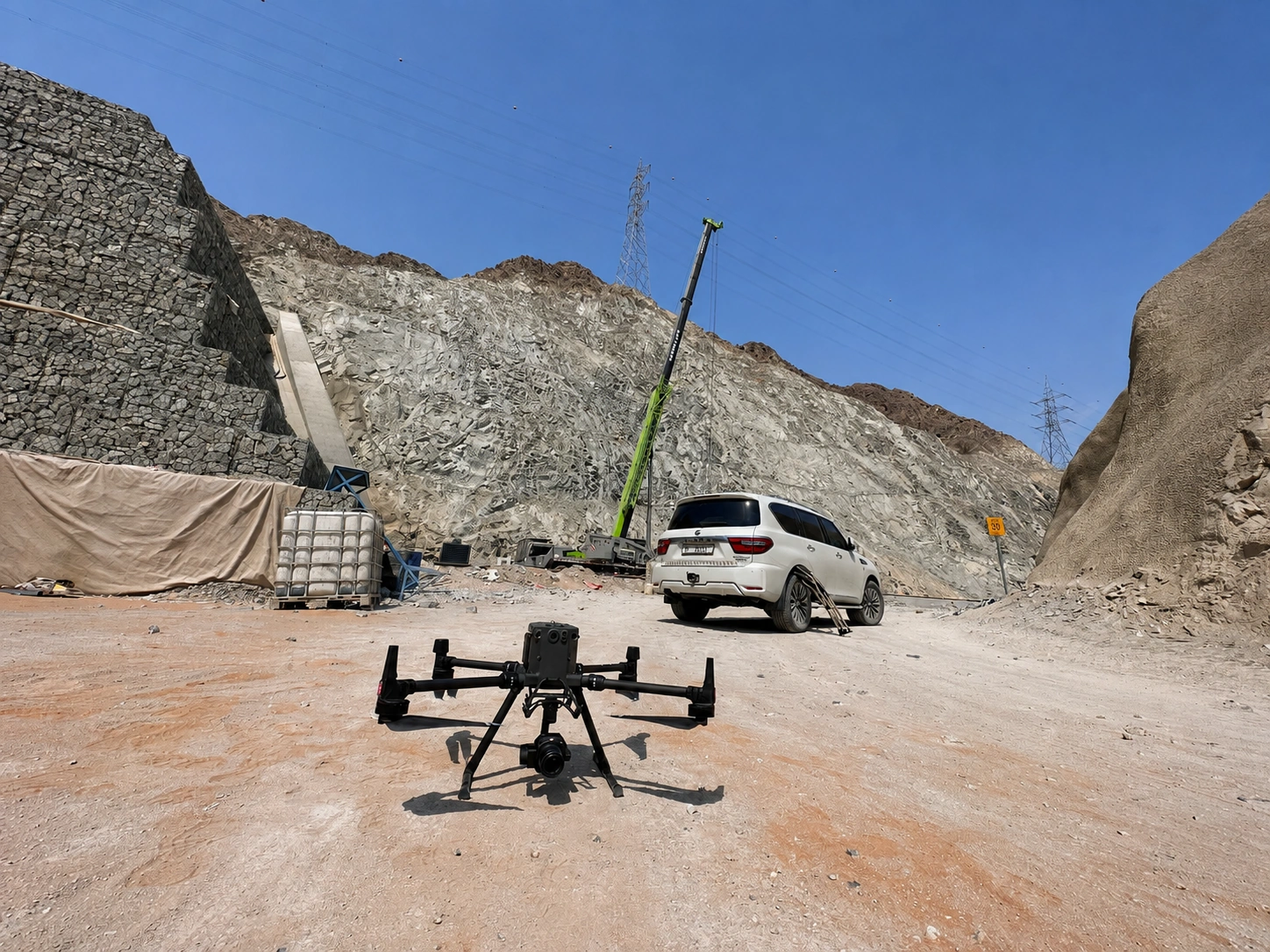
Engineering geologists conduct on-face discontinuity mapping and high-resolution drone photogrammetry to build a precise structural ground model.
Kinematic & Stability Analysis
Quantitative stereographic projection, limit-equilibrium modelling, and kinetic trajectory simulations identify critical failure planes and impact zones.
Design & Constructability Engineering
Detailed stabilization drawings, anchor loading calculations, system specifications, and access phasing are developed for site execution.
Verification & As-Built Certification
Rigorous quality audits, pull-out load testing verification, and comprehensive as-built documentation ensure compliance before handover.
Other Services
Related Services
Let's Discuss Your Project
Our engineering team is ready to help you plan and execute your next major project.